-
The Thaw Valley at Burton Bridge
-

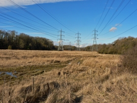
Burton Bridge, West Aberthaw - Transmission Pylons
The Thaw Valley at Burton Bridge
Burton Bridge, West Aberthaw - Transmission Pylons
Location and coordinates are for the approximate centre of East Orchard Wood within this administrative area. Geographic features and populated places may cross administrative borders.