-
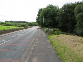
Carr lane entering East Morton
-
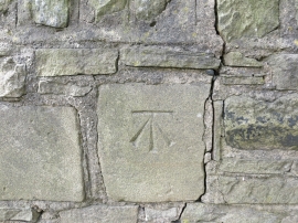
Ordnance Survey Cut Mark
Carr lane entering East Morton
Ordnance Survey Cut Mark
Other current and historical names
Location and coordinates are for the approximate centre of East Morton within this administrative area. Geographic features and populated places may cross administrative borders.