-

Southern Whalsay
-
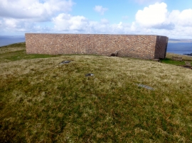
Ward of Clett
Southern Whalsay
Ward of Clett
Location and coordinates are for the approximate centre of East Meoness Geo within this administrative area. Geographic features and populated places may cross administrative borders.