-
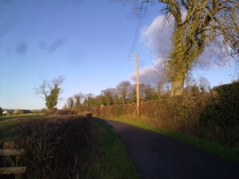
View along the lane
-
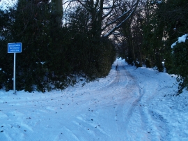
Whinny Lane at the junction with Springhouse Lane
View along the lane
Whinny Lane at the junction with Springhouse Lane
Other current and historical names
Location and coordinates are for the approximate centre of East Law within this administrative area. Geographic features and populated places may cross administrative borders.