-

Seaford College clock tower with bell
-
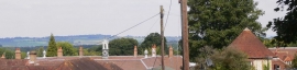
The roofs of Seaford College
Seaford College clock tower with bell
The roofs of Seaford College
Other current and historical names
Location and coordinates are for the approximate centre of East Lavington within this administrative area. Geographic features and populated places may cross administrative borders.