-
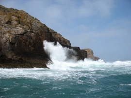
Rough seas on Round Island!
-
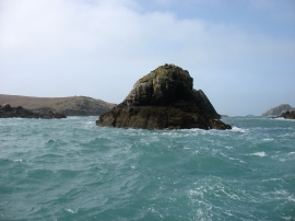
Camber Rock
Rough seas on Round Island!
Camber Rock
Location and coordinates are for the approximate centre of East Landing within this administrative area. Geographic features and populated places may cross administrative borders.