-
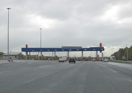
Toll Plaza, Tyne Tunnel
-
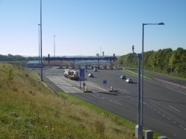
Toll Plaza, Tyne Tunnels
Toll Plaza, Tyne Tunnel
Toll Plaza, Tyne Tunnels
Location and coordinates are for the approximate centre of East Howdon within this administrative area. Geographic features and populated places may cross administrative borders.