-
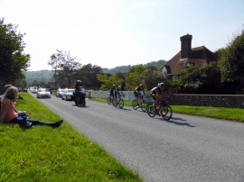
Tour of Britain Cycle Race at Gilberts Drive, East Dean
-
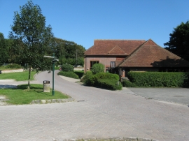
East Dean Village Hall
Tour of Britain Cycle Race at Gilberts Drive, East Dean
East Dean Village Hall
Other current and historical names
Location and coordinates are for the approximate centre of East Dean within this administrative area. Geographic features and populated places may cross administrative borders.