-

Badly flailed hedge
-
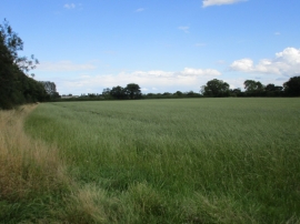
Farmland near Walloway Bridge
Badly flailed hedge
Farmland near Walloway Bridge
Location and coordinates are for the approximate centre of East Cottingwith Common within this administrative area. Geographic features and populated places may cross administrative borders.