-

Looking north towards Scrayingham
-
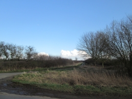
The lane towards Toft Flats
Looking north towards Scrayingham
The lane towards Toft Flats
Location and coordinates are for the approximate centre of East Belt Wood within this administrative area. Geographic features and populated places may cross administrative borders.