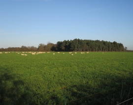
East Barton, Suffolk

« Gazetteer Entry
Upload Photo

East Barton, Suffolk

Other current and historical names

  • Barton, East
  • Parish/Community: Great Barton
  • District/Borough: St Edmundsbury
  • County: Suffolk
  • Region: Eastern
  • Category: Populated Place
  • Type: Hamlet
  • Latitude/Longitude: 52°15'9"N 0°47'0"E
  • Eastings/Northings: 590098, 265263
  • OS Grid: TL900652
  • Mapcode Local: GBR RG7.LYF
  • Mapcode Global: VHKD5.JMLY

Location and coordinates are for the approximate centre of East Barton within this administrative area. Geographic features and populated places may cross administrative borders.

BritishPlaceNames.uk is a Good Stuff website.