-
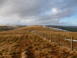
Looking towards Glenrae Dod from Slough Hill
-

Summit of Slough Hill
Looking towards Glenrae Dod from Slough Hill
Summit of Slough Hill
Location and coordinates are for the approximate centre of Duntercleuch Rig within this administrative area. Geographic features and populated places may cross administrative borders.