-
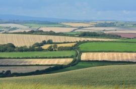
Country lane near Dunstone, Devon
-
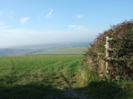
Footpath to Dunstone beside field
Country lane near Dunstone, Devon
Footpath to Dunstone beside field
Location and coordinates are for the approximate centre of Dunstone within this administrative area. Geographic features and populated places may cross administrative borders.