-

Rocks at Bull Point
-
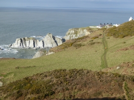
Bull Point
Rocks at Bull Point
Bull Point
Location and coordinates are for the approximate centre of Dunn Sand within this administrative area. Geographic features and populated places may cross administrative borders.