-

A bridleway to Patrington
-
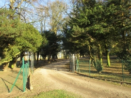
Entrance to Enholmes Hall
A bridleway to Patrington
Entrance to Enholmes Hall
Location and coordinates are for the approximate centre of Dunn Ings Plantation within this administrative area. Geographic features and populated places may cross administrative borders.