-
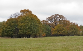
Trees in Dagnam Park, The Manor Nature Reserve, Harold Hill
-
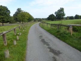
Approach to Dagnam Park
Trees in Dagnam Park, The Manor Nature Reserve, Harold Hill
Approach to Dagnam Park
Location and coordinates are for the approximate centre of Duck Wood within this administrative area. Geographic features and populated places may cross administrative borders.