-
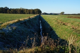
A drain at Hotham Carrs, East Yorkshire
-
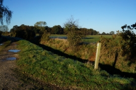
A bridleway to Market Weighton Canal
A drain at Hotham Carrs, East Yorkshire
A bridleway to Market Weighton Canal
Location and coordinates are for the approximate centre of Duck Nest Plantation within this administrative area. Geographic features and populated places may cross administrative borders.