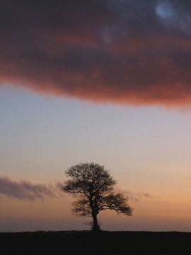
Dubb Meadow Wood, Lancashire

« Gazetteer Entry
Upload Photo

Dubb Meadow Wood, Lancashire

  • Parish/Community: Silverdale
  • District/Borough: Lancaster
  • County: Lancashire
  • Region: North West
  • Category: Landcover
  • Type: Forest or Wood
  • Latitude/Longitude: 54°9'45"N 2°48'25"W
  • Eastings/Northings: 347396, 474402
  • OS Grid: SD473744
  • Mapcode Local: GBR 8NV9.1K
  • Mapcode Global: WH83M.VMFN

Location and coordinates are for the approximate centre of Dubb Meadow Wood within this administrative area. Geographic features and populated places may cross administrative borders.

BritishPlaceNames.uk is a Good Stuff website.