-
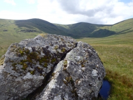
Split Rock Under High Brow
-
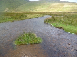
Aira Beck
Split Rock Under High Brow
Aira Beck
Location and coordinates are for the approximate centre of Dowthwaitehead Moss within this administrative area. Geographic features and populated places may cross administrative borders.