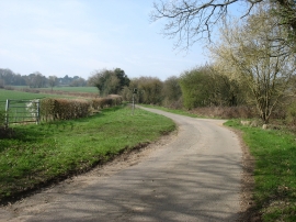
Downham Grove, Buckinghamshire

« Gazetteer Entry
Upload Photo

Downham Grove, Buckinghamshire

  • Parish/Community: Penn
  • District/Borough: Chiltern
  • County: Buckinghamshire
  • Region: South East
  • Category: Landcover
  • Type: Forest or Wood
  • Latitude/Longitude: 51°38'1"N 0°39'55"W
  • Eastings/Northings: 492472, 193610
  • OS Grid: SU924936
  • Mapcode Local: GBR F6L.DMF
  • Mapcode Global: VHFSN.F64F

Location and coordinates are for the approximate centre of Downham Grove within this administrative area. Geographic features and populated places may cross administrative borders.

BritishPlaceNames.uk is a Good Stuff website.