-

Countryside around Fleet Mill
-
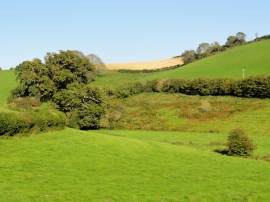
A View Across the Valley
Countryside around Fleet Mill
A View Across the Valley
Location and coordinates are for the approximate centre of Down Plantation within this administrative area. Geographic features and populated places may cross administrative borders.