-
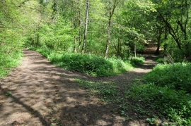
Bridleway in Bourton Woods
-
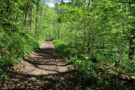
Five Mile Drive
Bridleway in Bourton Woods
Five Mile Drive
Location and coordinates are for the approximate centre of Dovedale Plantation within this administrative area. Geographic features and populated places may cross administrative borders.