-
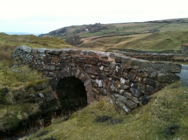
Bridge in Smithy Clough
-
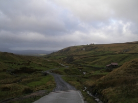
The Bronte Way at Smithy Clough
Bridge in Smithy Clough
The Bronte Way at Smithy Clough
Location and coordinates are for the approximate centre of Dove Stones Moor within this administrative area. Geographic features and populated places may cross administrative borders.