-
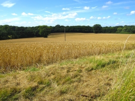
Crop field by Northiam
-
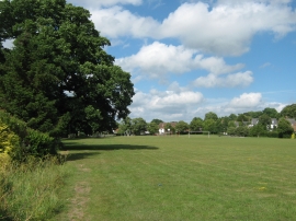
Northiam Recreational Ground
Crop field by Northiam
Northiam Recreational Ground
Location and coordinates are for the approximate centre of Doctor's Shaw within this administrative area. Geographic features and populated places may cross administrative borders.