-
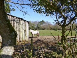
Linwood, horse grazing
-
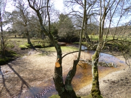
Linwood, Dockens Water
Linwood, horse grazing
Linwood, Dockens Water
Location and coordinates are for the approximate centre of Dockens Water within this administrative area. Geographic features and populated places may cross administrative borders.