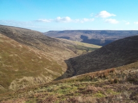
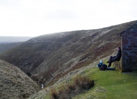
Dinas Sitch Tor, Derbyshire

« Gazetteer Entry
Upload Photo

Dinas Sitch Tor, Derbyshire

  • Parish/Community: Hope Woodlands
  • District/Borough: High Peak
  • County: Derbyshire
  • Region: East Midlands
  • Category: Geographic Feature
  • Type: Hill or Mountain
  • Latitude/Longitude: 53°25'4"N 1°49'48"W
  • Eastings/Northings: 411396, 391250
  • OS Grid: SK113912
  • Mapcode Local: GBR HXNX.LH
  • Mapcode Global: WHCC5.VCR3

Location and coordinates are for the approximate centre of Dinas Sitch Tor within this administrative area. Geographic features and populated places may cross administrative borders.

BritishPlaceNames.uk is a Good Stuff website.