-
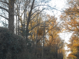
Old style telegraph pole, Welwyn
-
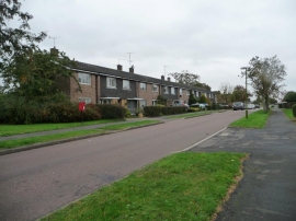
Postbox on Rowans, Welwyn Garden City
Old style telegraph pole, Welwyn
Postbox on Rowans, Welwyn Garden City
Location and coordinates are for the approximate centre of Digswell Water within this administrative area. Geographic features and populated places may cross administrative borders.