-
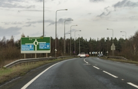
Approaching Junction 4 of M180
-
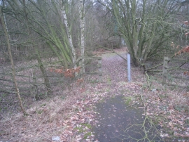
Path to Ermine Street
Approaching Junction 4 of M180
Path to Ermine Street
Location and coordinates are for the approximate centre of Dent Wood within this administrative area. Geographic features and populated places may cross administrative borders.