-

Track in Deep Gill Wood
-
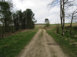
Ox Pasture Lane
Track in Deep Gill Wood
Ox Pasture Lane
Location and coordinates are for the approximate centre of Deep Gill Wood within this administrative area. Geographic features and populated places may cross administrative borders.