-
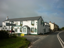
The Old Posting House near Deanscales
-
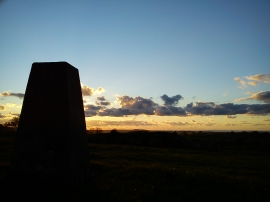
Eagles Sunset
The Old Posting House near Deanscales
Eagles Sunset
Location and coordinates are for the approximate centre of Deanscales within this administrative area. Geographic features and populated places may cross administrative borders.