-
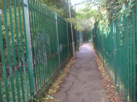
Footpath from The Fairway to Stoneyfields Park
-

Art Deco bungalow on Fairmead Crescent
Footpath from The Fairway to Stoneyfields Park
Art Deco bungalow on Fairmead Crescent
Location and coordinates are for the approximate centre of Dean's Brook within this administrative area. Geographic features and populated places may cross administrative borders.