-
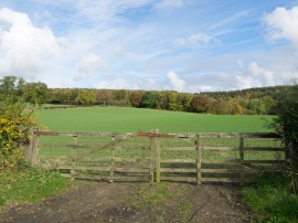
Woodland beyond grassed field
-
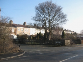
Dene Bridge Row Chilton County Durham
Woodland beyond grassed field
Dene Bridge Row Chilton County Durham
Location and coordinates are for the approximate centre of Dean Bridge Wood within this administrative area. Geographic features and populated places may cross administrative borders.