-

Tanyard Bay from the train
-
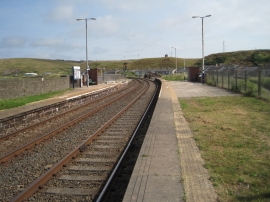
Parton railway station, Cumbria
Tanyard Bay from the train
Parton railway station, Cumbria
Location and coordinates are for the approximate centre of Dawson Rock within this administrative area. Geographic features and populated places may cross administrative borders.