-
Small bridge over rivulet at the bottom of the valley
-

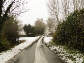
Wash Lane, Alburgh
Small bridge over rivulet at the bottom of the valley
Wash Lane, Alburgh
Location and coordinates are for the approximate centre of Darrow Wood within this administrative area. Geographic features and populated places may cross administrative borders.