-
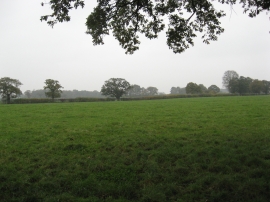
Grazing meadow at Lower Farm
-
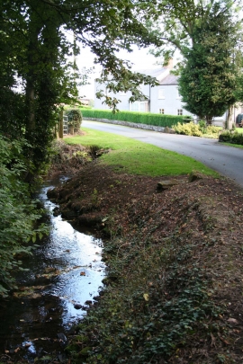
Lower Farm, Little Budworth
Grazing meadow at Lower Farm
Lower Farm, Little Budworth
Location and coordinates are for the approximate centre of Darley Rough within this administrative area. Geographic features and populated places may cross administrative borders.