-
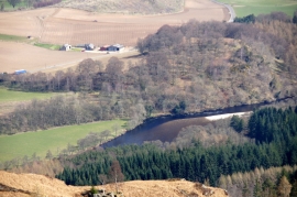
River Tay at Craig Tonach from Birnam Hill
-
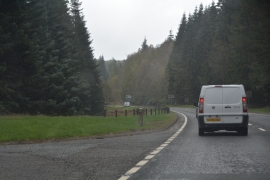
Perth and Kinross : The A9
River Tay at Craig Tonach from Birnam Hill
Perth and Kinross : The A9
Location and coordinates are for the approximate centre of Dalpowie Plantation within this administrative area. Geographic features and populated places may cross administrative borders.