-

Bus on Longshaw Street, Dallam
-
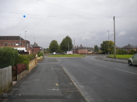
Harrison Square roundabout, Dallam
Bus on Longshaw Street, Dallam
Harrison Square roundabout, Dallam
Location and coordinates are for the approximate centre of Dallam within this administrative area. Geographic features and populated places may cross administrative borders.