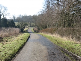
Dairy Spinney, Northamptonshire

« Gazetteer Entry
Upload Photo

Dairy Spinney, Northamptonshire

  • Parish/Community: Thornby
  • District/Borough: Daventry
  • County: Northamptonshire
  • Region: East Midlands
  • Category: Landcover
  • Type: Forest or Wood
  • Latitude/Longitude: 52°22'9"N 1°0'18"W
  • Eastings/Northings: 467830, 275064
  • OS Grid: SP678750
  • Mapcode Local: GBR 9S7.JP2
  • Mapcode Global: VHDRB.JPGZ

Location and coordinates are for the approximate centre of Dairy Spinney within this administrative area. Geographic features and populated places may cross administrative borders.

BritishPlaceNames.uk is a Good Stuff website.