-
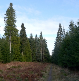
Forest path, Novar Estate
-
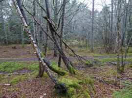
Path below Cat Hill
Forest path, Novar Estate
Path below Cat Hill
Location and coordinates are for the approximate centre of Dail Gheal within this administrative area. Geographic features and populated places may cross administrative borders.