-
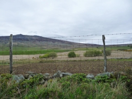
Farmland south-east of Dafarn Faig
-
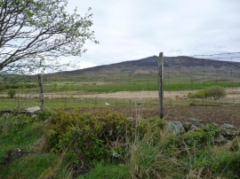
Field boundaries, south-east of Dafarn Faig
Farmland south-east of Dafarn Faig
Field boundaries, south-east of Dafarn Faig
Location and coordinates are for the approximate centre of Cwm-yr-Haf within this administrative area. Geographic features and populated places may cross administrative borders.