-

Forestry track in Cwm Callan
-
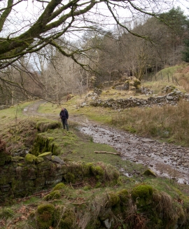
Forestry road passing ruins of Blaencallan
Forestry track in Cwm Callan
Forestry road passing ruins of Blaencallan
Location and coordinates are for the approximate centre of Cwm y Gorlan within this administrative area. Geographic features and populated places may cross administrative borders.