-

Forestry in Cwm Llusog
-
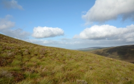
Upper eastern slope of Foel y Geifr
Forestry in Cwm Llusog
Upper eastern slope of Foel y Geifr
Location and coordinates are for the approximate centre of Cwm Llusog within this administrative area. Geographic features and populated places may cross administrative borders.