-
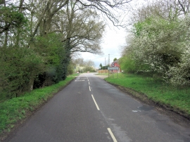
Ibstone Road enters Stokenchurch
-
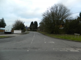
Mill Rd, Stokenchurch
Ibstone Road enters Stokenchurch
Mill Rd, Stokenchurch
Location and coordinates are for the approximate centre of Cupboard Wood within this administrative area. Geographic features and populated places may cross administrative borders.