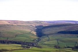
Cumberland Plantation, Cheshire East

« Gazetteer Entry
Upload Photo

Cumberland Plantation, Cheshire East

  • Parish/Community: Macclesfield Forest and Wildboarclough
  • Unitary Authority: Cheshire East
  • Region: North West
  • Category: Landcover
  • Type: Forest or Wood
  • Latitude/Longitude: 53°13'31"N 2°0'44"W
  • Eastings/Northings: 399270, 369807
  • OS Grid: SJ992698
  • Mapcode Local: GBR 235.VCR
  • Mapcode Global: WHBBY.16Z7

Location and coordinates are for the approximate centre of Cumberland Plantation within this administrative area. Geographic features and populated places may cross administrative borders.

BritishPlaceNames.uk is a Good Stuff website.