-
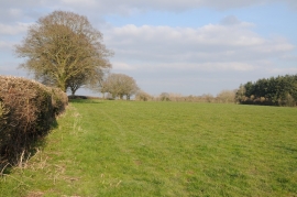
Field near Sherrington Barn
-
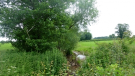
Unnamed brook near Sherrington Barn
Field near Sherrington Barn
Unnamed brook near Sherrington Barn
Location and coordinates are for the approximate centre of Cullender Plantation within this administrative area. Geographic features and populated places may cross administrative borders.