-

Path in Cross Holts Woods
-
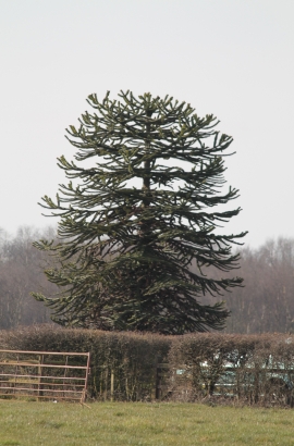
Monkey Puzzle Tree at Daisy Made Farm
Path in Cross Holts Woods
Monkey Puzzle Tree at Daisy Made Farm
Location and coordinates are for the approximate centre of Cross Holts within this administrative area. Geographic features and populated places may cross administrative borders.