-
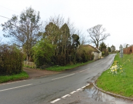
Minor road to Limers Cross
-
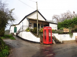
Village Hall, Combe Raleigh
Minor road to Limers Cross
Village Hall, Combe Raleigh
Location and coordinates are for the approximate centre of Crook Hill within this administrative area. Geographic features and populated places may cross administrative borders.