-

Site of 'Dowry Castle', Denshaw
-
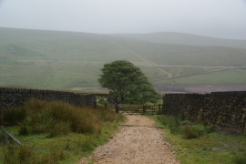
Dowry Road
Site of 'Dowry Castle', Denshaw
Dowry Road
Location and coordinates are for the approximate centre of Crook Gate Resr within this administrative area. Geographic features and populated places may cross administrative borders.