-
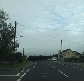
A129 Crays Hill. Crays Hill
-
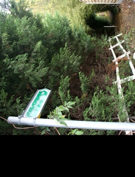
Footpath 69
A129 Crays Hill. Crays Hill
Footpath 69
Location and coordinates are for the approximate centre of Crays Hill within this administrative area. Geographic features and populated places may cross administrative borders.