-
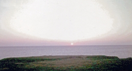
Sunset at Gwbert-on-Sea
-
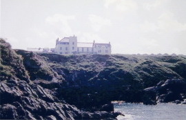
Cliff Hotel, Gwbert-on-Sea, 1962
Sunset at Gwbert-on-Sea
Cliff Hotel, Gwbert-on-Sea, 1962
Location and coordinates are for the approximate centre of Craig y Gwbert within this administrative area. Geographic features and populated places may cross administrative borders.